Alagnon - Pinatelle
Add to my favorites

Route closed
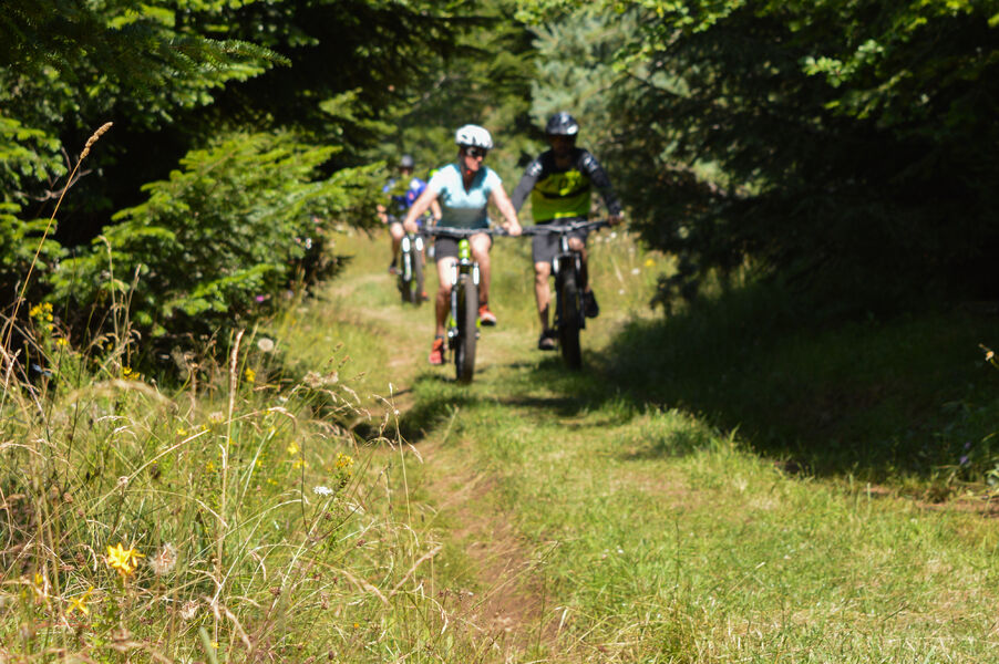
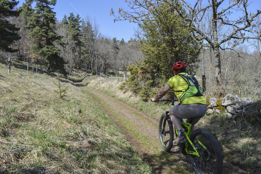
Difficult level circuit; interests: landscape and flora. Possible departures from: Chavagnac, Virargues or Murat. Itinerary suitable for VTTAE (red level: difficult).
The characteristics of the route.
Murat (15)
- Distance 21.4 km
- Elevation gain 570 m
- Elevation lost 570 m
- Min. elevation 857 m
- Max. elevation. 1240 m
- Duration (depending on pace) 4h
- Marking Yes
Marking : Black markers.Equipments : Parking nearby, Admission fee : Free access.Opening : All year round.
Subject to favorable weather.
Area : Murat
Report a problem
Pdf file
Add your time and share your feelings
Services nearby
Mountain and Co
Murat

Lagloire Jean-Claude
Murat

Restaurant de la Paix
Murat
Les Crêtes, second-hand sport
Murat
Céline Lepage Broderie d'Art
Murat


Information updated on 2025-05-01 by Hautes Terres Tourisme


Follow us on
the digital trails
the digital trails


![]()
Contact
Carladès Tourist Office
Avenue A. Mercier
15800 Vic-sur-Cère
Tel. 04.71.47.50.68
Carladès Tourisme
tourisme@carlades.fr
 Espace Trail Carladès - Parcours - Alagnon - Pinatelle
Hello, world! This is a toast message.
Espace Trail Carladès - Parcours - Alagnon - Pinatelle
Hello, world! This is a toast message.
Espace Trail Carladès - Parcours - Alagnon - Pinatelle
Hello, world! This is a toast message.


OK
Annuler