
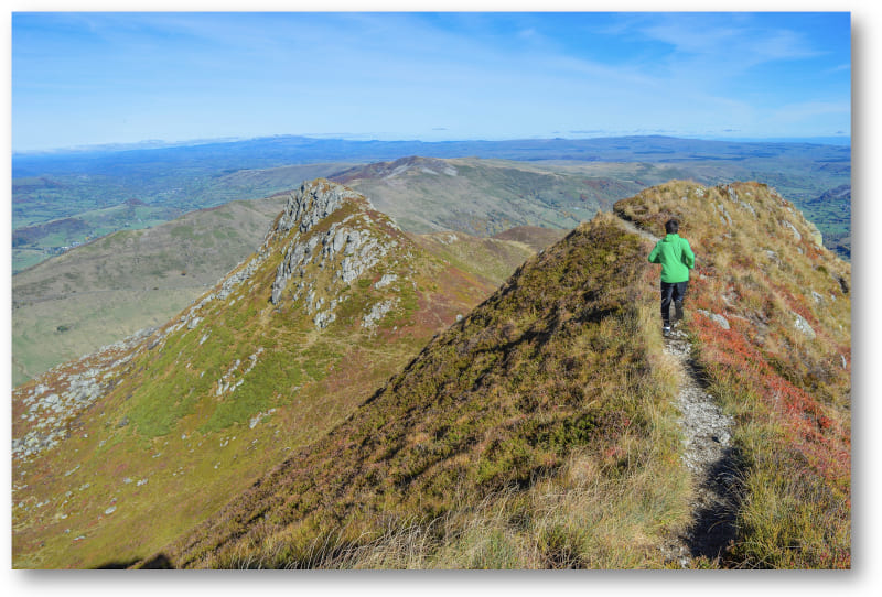
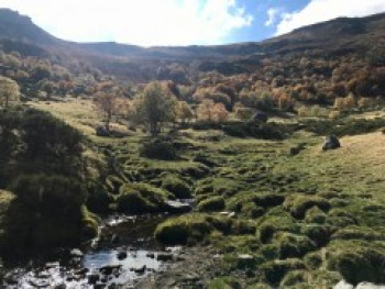
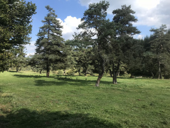
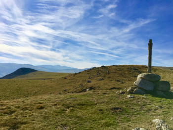
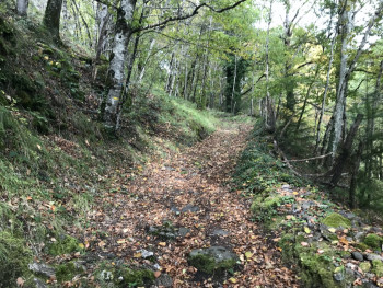
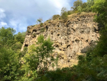
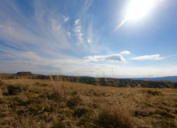
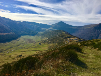
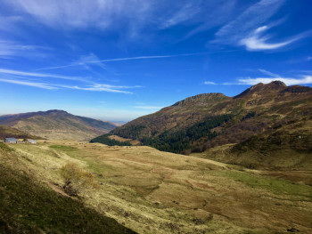
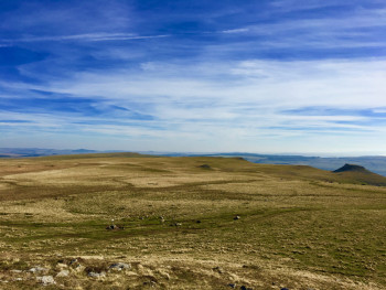
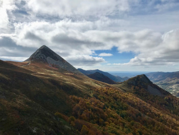
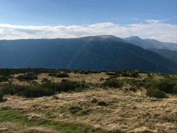
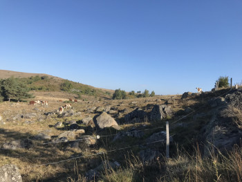
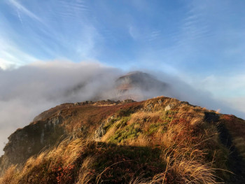
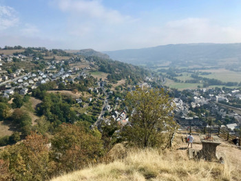
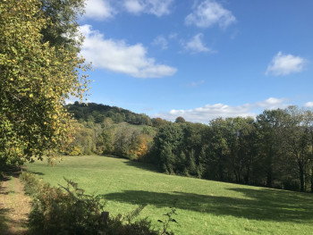
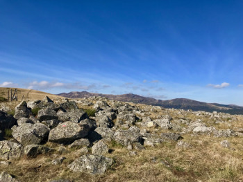
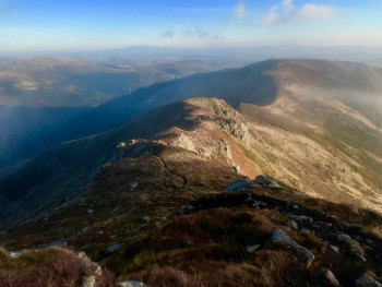
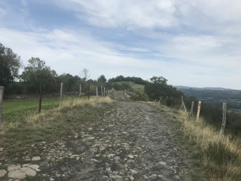
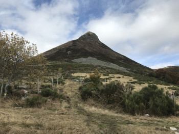
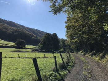
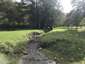
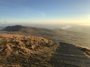
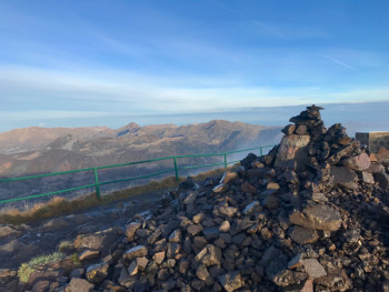
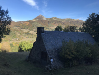
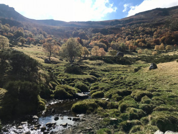
Would you like to climb the slopes of a volcano? The Massif Cantalien offers routes for all levels on the ridges, on the plateau, in the forest and allows you to train with specific workshops.
In total, there are 35 trail routes from easy to expert level, 3 Trail Challenges to measure yourself against other runners, 3 verticals and 2 white trail routes to continue training in winter.
Dare to confront the wild immensity of the largest volcanic massif in Europe!


10.4km 360m 360m
Albepierre-Bredons
Route opened
33km 650m 650m
Badailhac
Route opened
20.2km 420m 420m
Badailhac
Route opened
11.4km 220m 220m
Chavagnac
Route opened
15.5km 290m 290m
Chavagnac
Route opened
8.5km 380m 380m
Dienne
Route opened

6.8km 230m 230m
Dienne
Route opened
7.2km 300m 300m
Jou-sous-Monjou
Route opened
22km 860m 860m
Laveissière
Route opened
31.8km 1480m 1470m
Laveissière
Route closed
6.7km 320m 320m
Laveissière
Route opened
29.6km 1130m 1130m
Le Claux
Route opened
14.5km 600m 600m
Le Claux
Route opened
17.9km 670m 670m
Le Claux
Route opened
13.1km 680m 680m
Le Lioran
Route opened

11.8km 750m 750m
Le Lioran
Route opened
7.2km 520m 520m
Le Lioran
Route opened
4.8km 250m 250m
Le Lioran
Route opened
17.4km 690m 690m
Murat
Route opened
20.3km 640m 640m
Murat
Route opened
8.9km 210m 210m
Murat
Route opened
44.4km 2290m 2300m
Murat
Route opened
8km 360m 360m
Murat
Route opened

25km 660m 660m
Pailherols
Route opened

17.3km 500m 500m
Pailherols
Route opened
6.1km 280m 280m
Polminhac
Route opened
19.2km 630m 630m
Prat-de-Bouc
Route opened
10.8km 670m 670m
Prat-de-Bouc
Route opened
20.1km 650m 650m
Raulhac
Route opened
36.7km 1370m 1370m
Raulhac
Route opened
29.8km 1330m 1330m
Saint-Jacques-des-Blats
Route opened
15.1km 800m 790m
Saint-Jacques-des-Blats
Route opened

16.1km 750m 750m
Thiézac
Route opened
18.54km 532m 532m
Vic-sur-Cère
Route opened
3.74km 6m 6m
Vic-sur-Cère
Route opened

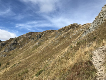
To orient you during your run, routes of the Espace Trail du Massif Cantalien are equipped with trail directional markers. Each marker is printed with the number(s) of the itinerary(s) to be followed with their colour of difficulty (green - blue - red - black) or their particularity (orange = vertical; azure blue = snow-route).
The trail markers are placed in a regular way, at each directional change. Between two trail directional markers, follow the existing hiking markers.
In urban areas, trail-running markers can be adapted to meet the requirements of city marking signs. The markers are coloured brown.
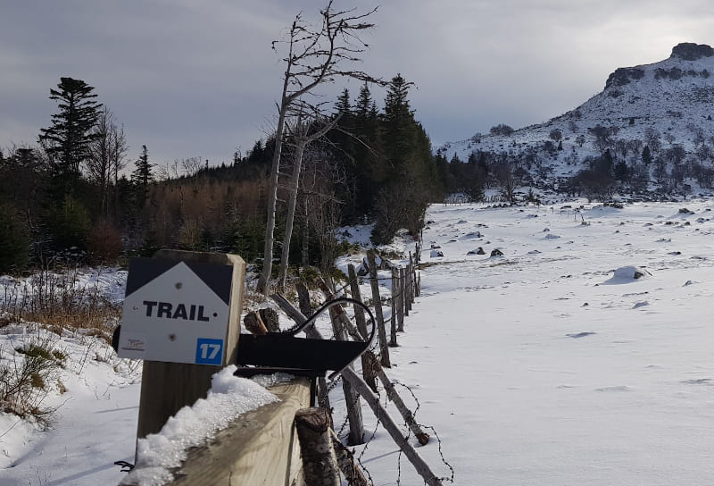
The Espace Trail Massif Cantalien offers you three routes equipped with permanent timing beacons. Three verticals, starting from three different starting sites (Le Lioran, Prat de Bouc, St Jacques des Blats), for the same finish : the summit of the Plomb du Cantal !
Before your run :
- Check the weather forecast before you leave, the itineraries can be dangerous in case of bad weather.
- Find out about the state of the route
- Before you leave Inform someone close to you of your itinerary and the planned timetables
- Take water and food and drink
On the routes :
- Please respect the natural and agricultural environments you pass through ;
- Close the barriers after you have passed through
- Stay on the paths and do not cut the laces.
- All parts of the route using public roads are subject to the Highway Code.
- Please make sure that you observe them.
- Keep all your rubbish with you.
In the event of problem (lack of markings, maintenance problems, environmental problems...), do not hesitate to signal this problem by using the reporting tool available on the route page, on the website (button under the map) or in the mobile app. You will be able to geolocate the problem and also send a corresponding photo. The Espace manager will be automatically notified of your report and will be able to check and deal with the problem.

Contact Carladès area
Carladès Tourist Office
Avenue A. Mercier
15800 Vic-sur-Cère
Tel. 04.71.47.50.68
Carladès Tourisme
tourisme@carlades.fr
![]()
Contact Hautes Terres area
Hautes Terres Tourist Office
Pl. Hôtel de ville - 15300 Murat
Tel. 04.71.20.09.47
Hautes Terres Tourisme
contact@hautesterrestourisme.fr
@hautesterrestourisme
@hautesterrestourisme

